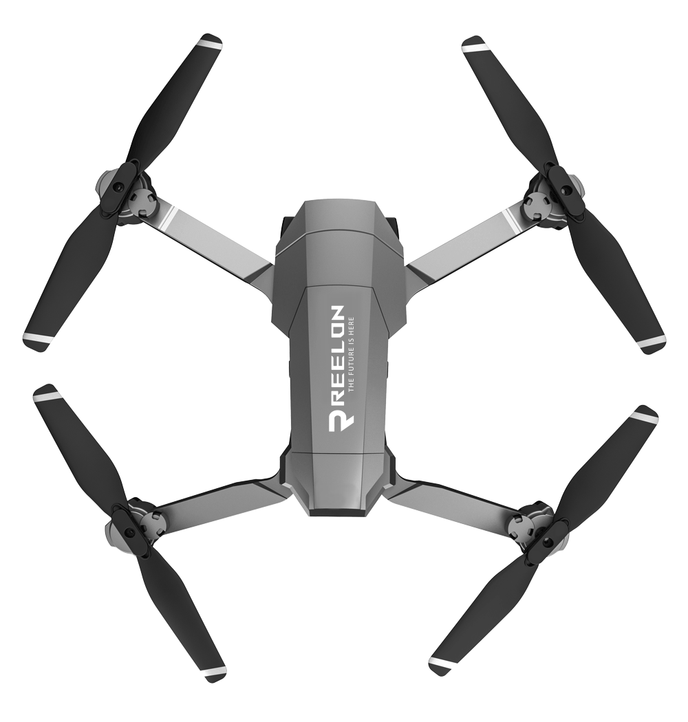
Reelon Air is a leading provider of drone services, offering aerial photography, mapping, inspection, and surveying solutions across various industries.
We specialize in aerial photography, drone mapping,GIS Based Mapping, 3D Modeling, Urban/Rural Planning, Road Inspection, Railway Track & Bridge Inspection, LiDAR Survey, Forest Inspection And Management, Cadastral Map Digitalisation, Industrial Inspections, Agricultural Surveys, and more. Our services are tailored to meet the specific needs of each industry.
Our headquarters are located in Raipur, chhattisgarh, India. We serve clients all over India.
You can reach us via email at reelonindia@gmail.com or by phone at +91 88395 32218, +91 8566989041. For more details Contact Us
Yes, we offer customized drone solutions based on the unique requirements of our clients. Contact us to discuss your specific needs.
Certified Drone Pilot Training Program RPTO FAQS
Our certified training course prepares individuals to become skilled and licensed drone pilots. It covers essential topics such as flight operations, regulations, safety protocols, and practical flying skills.
Anyone interested in becoming a certified drone pilot can enroll in our training course. Whether you're new to drones or looking to advance your skills, our course is designed to accommodate various levels of experience.
Becoming a certified drone pilot enhances your credibility, opens up job opportunities in industries like photography, agriculture, construction, and enhances safety and compliance with aviation regulations.
The duration of our training course varies based on the curriculum and practical training sessions. Typically, it spans 5 Days, including both classroom instruction and hands-on flight training.
Yes, our training course includes practical flying sessions where you'll learn essential flight maneuvers, safety procedures, and gain hands-on experience with drone operations.
Yes, successful completion of our training course qualifies you to take the drone pilot certification exam administered by [relevant authority]. Upon passing the exam, you'll receive a recognized drone pilot certification.
Certified drone pilots can pursue careers in aerial photography, cinematography, surveying, inspections, agriculture, and more. The demand for skilled drone operators continues to grow across various industries.
GIS Based Mapping
GIS (Geographic Information System) mapping integrates spatial data to create comprehensive maps for analysis and decision-making. It enhances project planning, resource management, and data visualization.
Yes, we tailor GIS mapping solutions to meet the unique needs of industries such as agriculture, urban planning, environmental management, and more. Contact us to discuss your project requirements.
3D Modeling
3D modeling uses drone-captured data to create accurate three-dimensional representations of landscapes, buildings, and structures. It's essential for architectural visualization, urban planning, and virtual tours.
Yes, our advanced drone technology allows us to capture high-resolution data and create detailed 3D models of diverse environments, including urban areas, construction sites, and natural landscapes.
Urban/Rural Planning
Drones provide valuable data for urban and rural planners by capturing aerial imagery, surveying land use, assessing infrastructure, and monitoring environmental changes. This data supports informed decision-making and sustainable development.
Yes, we provide consultations based on drone data analysis to support urban and rural planning initiatives. Our insights help optimize land use, improve infrastructure design, and enhance community development.
Road Inspection
Drones conduct comprehensive road inspections by capturing detailed imagery and assessing infrastructure conditions. This data aids in identifying maintenance needs, evaluating road safety, and planning repairs.
Yes, we conduct regular drone inspections to monitor road conditions, detect signs of deterioration, and facilitate proactive maintenance strategies. Our inspections help minimize disruptions and optimize road infrastructure management.
Railway Track & Bridge Inspection
Drones provide safe and efficient access to inaccessible areas for thorough inspections of railway tracks and bridges. They capture detailed visual data, assess structural integrity, and identify potential safety hazards.
Yes, our drone operations adhere to railway safety standards and regulations. We ensure comprehensive inspections while minimizing operational disruptions and enhancing railway infrastructure safety.
LIDAR Survey
LIDAR (Light Detection and Ranging) uses laser pulses to measure distances and create detailed 3D maps of terrain and objects. It enhances survey accuracy, terrain modeling, and environmental monitoring.
Yes, our LiDAR-equipped drones are capable of conducting surveys in diverse and challenging environments, including forests, mountainous regions, and urban areas. This technology enables precise mapping and analysis.
Forest Inspection And Management
Drones monitor forest health, detect wildfires, assess tree density, and map vegetation cover. They provide critical data for forest management, conservation efforts, and ecosystem monitoring.
Yes, we offer real-time drone monitoring services to track forest conditions, detect environmental changes, and respond promptly to threats such as wildfires. Our monitoring enhances forest management efficiency and sustainability.
Cadastral Map Digitalization
Cadastral map digitalization involves converting paper-based land records into digital formats for improved accessibility, accuracy, and efficiency in land management and property taxation.
Yes, we specialize in digitalizing cadastral maps using advanced GIS and drone technology. Our services support government agencies, land developers, and real estate professionals in managing land records effectively.
Additional FAQS
Yes, we offer maintenance and repair services to ensure your drones are in optimal condition for operations. Contact us for more information about our maintenance packages.
Yes, we provide drone services all over chhattisgarh and in India Contact us to discuss your project requirements and location.
We serve a wide range of industries including but not limited to construction, real estate, agriculture, insurance, and environmental conservation.
Drone operations are subject to weather conditions and safety regulations. We assess weather conditions and ensure safe operation of drones during projects.